According to the Wall Street Journal, Iranian ballistic missiles hit a housing area at Muwaffaq Salti Air Base in northeastern Jordan on July 17 while American troops were asleep inside. Three US soldiers died and four were wounded, the paper reported. The Journal described three separate missile strikes on the base within 24 hours.
On September 11 the Journal reported that US officials had linked the attack to high-resolution satellite imagery Iran obtained from Chinese entities before and after the strike. The officials would not name the entities and did not accuse Beijing of ordering the transfer.
The report leaves the collector unidentified. One satellite has a specific claim on the question, because it had reportedly already been pointed at this base. Global Recon reconstructed its orbit for the days before the strike. Between July 5 and July 14, the satellite Iran reportedly owns made four midday passes that placed Muwaffaq Salti less than 20 degrees off nadir.
Why this satellite
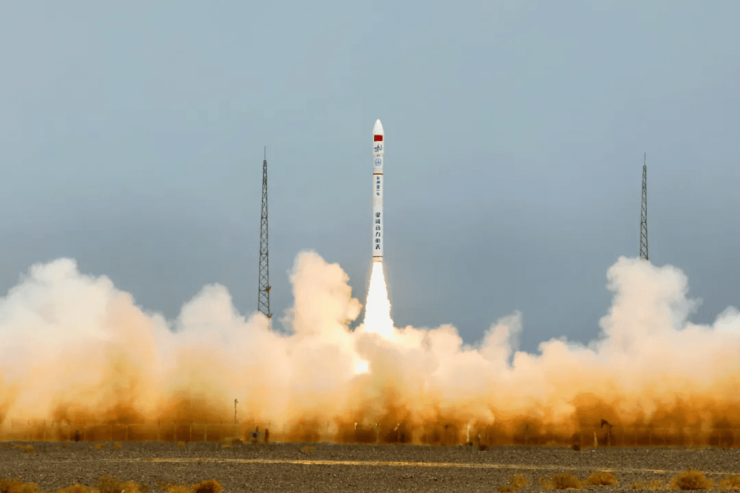
The satellite is TEE-01B, marketed as Earth Eye 1. It launched from Jiuquan on June 6, 2024, aboard a Ceres-1 rocket, and its operator, Beijing-based Earth Eye Co, advertises roughly half-meter panchromatic resolution across a 14.8 kilometer swath.
On April 15 the Financial Times reported, from leaked Iranian military documents, that the Islamic Revolutionary Guard Corps Aerospace Force had acquired TEE-01B in late 2024 under an in-orbit delivery contract, with the spacecraft handed over after launch. The September 2024 agreement was worth 250 million yuan, about 36.6 million dollars, and covered the satellite, mission software, ground network access and technical support for its operational life. The tasking records the FT reviewed showed the satellite imaging Prince Sultan Air Base in Saudi Arabia on March 13, 14 and 15, and monitoring Muwaffaq Salti and other US facilities around the time of IRGC-claimed attacks in March.
That reporting is contested. Emposat, the Beijing ground station company the FT named as the IRGC’s control link, said it has never granted third-party access to its network and has no cooperation whatsoever with the military entities in the reports. China dismissed the account as untrue, Reuters reported. Earth Eye did not respond to the FT’s request for comment. Global Recon has not obtained the contract or the full tasking logs. The acquisition stands as reported and denied.
What is not in dispute is that the satellite exists, that it is cataloged as NORAD object 60012, and that archived orbital elements allow its July ground tracks to be reconstructed.
What the orbit shows

Global Recon propagated the historical elements for object 60012 against the OJMS reference point for Muwaffaq Salti, at 31.825600 degrees north and 36.782001 degrees east, and scanned July 5 through July 14 for every pass in which the base sat less than 20 degrees off the satellite’s nadir.
The calculation used historical two-line element sets retrieved from the IAU’s SatChecker archive and the SGP4 orbital model in Skyfield. Each day’s scan used the nearest orbital epoch to 9:30 a.m. UTC and was checked against the next-nearest distinct epoch. The reference point was modeled at zero height on the WGS84 ellipsoid. The scan covered the full 24 hours of each UTC date, with all qualifying times also converted to Jordan time, three hours ahead of UTC.
Closest approach here means the minimum surface distance between the base reference point and the satellite’s ground track. The look angle is measured at the spacecraft between the direction toward Earth’s center and the line toward that reference point. It is not the satellite’s observed camera orientation. These are modeled values rather than precision measurements of the spacecraft’s position. A second scan with a finer time step returned the same six qualifying passes.
Six passes qualify. Four came in daylight, each a little after noon Jordan time. On July 5 the satellite’s ground track passed 163 kilometers from the base, requiring a 17.3 degree look angle. On July 6 it passed at 114 kilometers and 12.2 degrees, the closest daylight approach of the interval. On July 13 it passed at 138 kilometers and 14.8 degrees, and on July 14 at 141 kilometers and 15.0 degrees. Two further passes on July 9 and 10 occurred near midnight local time and are excluded from the midday count.

The midday geometry repeated at an interval of roughly eight days. The July 13 pass came 50 seconds earlier than the July 5 pass plus eight days, and July 14 came 54 seconds earlier than July 6 plus eight days. The base would have presented itself at nearly the same local time and a similar angle on each pair.
That is an approximate recurrence, not an exact repeat orbit. The July 13 ground track was about 25 kilometers closer to the reference point than July 5; July 14 was about 27 kilometers farther away than July 6. The satellite’s modeled altitude at the four midday approaches ranged from about 523 to 525 kilometers. Earth Eye’s product page lists both 535 and 545 kilometers in different places, so neither nominal figure was substituted for the altitude calculated from the July elements. Those differences matter when turning a ground separation into a required viewing angle.
The reconstruction establishes geometry and nothing beyond it. TEE-01B’s swath is narrow enough that every one of these passes would have required the satellite to roll and look sideways, and Global Recon did not find a published pointing limit for this spacecraft. Whether anyone tasked the satellite, whether the sensor fired, whether cloud intervened and whether an image reached Tehran are all outside what orbital data can show.
How imagery could reach Iran
If TEE-01B collected in July, the picture still had to travel, and the arrangement the FT described ran on Chinese-built hardware and Chinese-operated ground services. Earth Eye’s corporate timeline records a December 2022 satellite-development agreement with Chang Guang Satellite Technology, operator of the Jilin-1 constellation. Emposat advertises command, telemetry and data reception across more than 60 ground station units. The available records do not establish that this network carried the July imagery.
The reason such a route would appeal to Tehran is visible in what happened to its own. Jim Lamson, a former CIA analyst at the James Martin Center for Nonproliferation Studies, told the FT that Iran’s satellite ground stations were hit in 2025 and 2026 and can be reached by missiles from a thousand miles away. “You can’t just hit a Chinese ground station located in another country,” he said.
There are other routes. On May 8 the State Department designated three Chinese companies over Iran-related imagery, describing three separate activities: Earth Eye supplied imagery to Iran, Chang Guang collected imagery in response to Iranian requests, and MizarVision, a Hangzhou analytics firm, published open-source imagery of US military activity. The Washington Post reported in April that MizarVision fuses Chinese and Western satellite data with ship and flight tracking. Imagery from Chinese entities could therefore have come from Chang Guang’s own Jilin-1 satellites or from Western imagery repackaged by a Chinese analyst. Emposat was not named in the May action.
The reconstruction places TEE-01B on four midday passes requiring less than 20 degrees of off-nadir pointing toward Muwaffaq Salti. Identifying it as the source of the July imagery requires a record connecting the satellite to an image delivered to Iran.
John Hendricks is an OSINT analyst and the founder of Global Recon. Follow on X: @IGRecon