China’s growing footprint in Latin America is frequently discussed in Washington in policy briefs, committee reports, and diplomatic cables. Less often shown is what that footprint actually looks like on the ground. Using satellite imagery and open-source data, this piece examines one facility in Argentina to assess how China’s physical presence has changed over time, and whether what’s observable matches what’s being reported.
The facility examined here is the Neuquén Deep Space Station, located in Argentina’s Patagonia region. Publicly described as a civilian space-tracking installation supporting Chinese scientific missions, Neuquén has also been cited in recent U.S. congressional reports as an example of China’s expanding strategic infrastructure abroad. Because the site was built from scratch and has undergone visible changes over time, it offers a clear case for testing what satellite imagery can and cannot confirm.
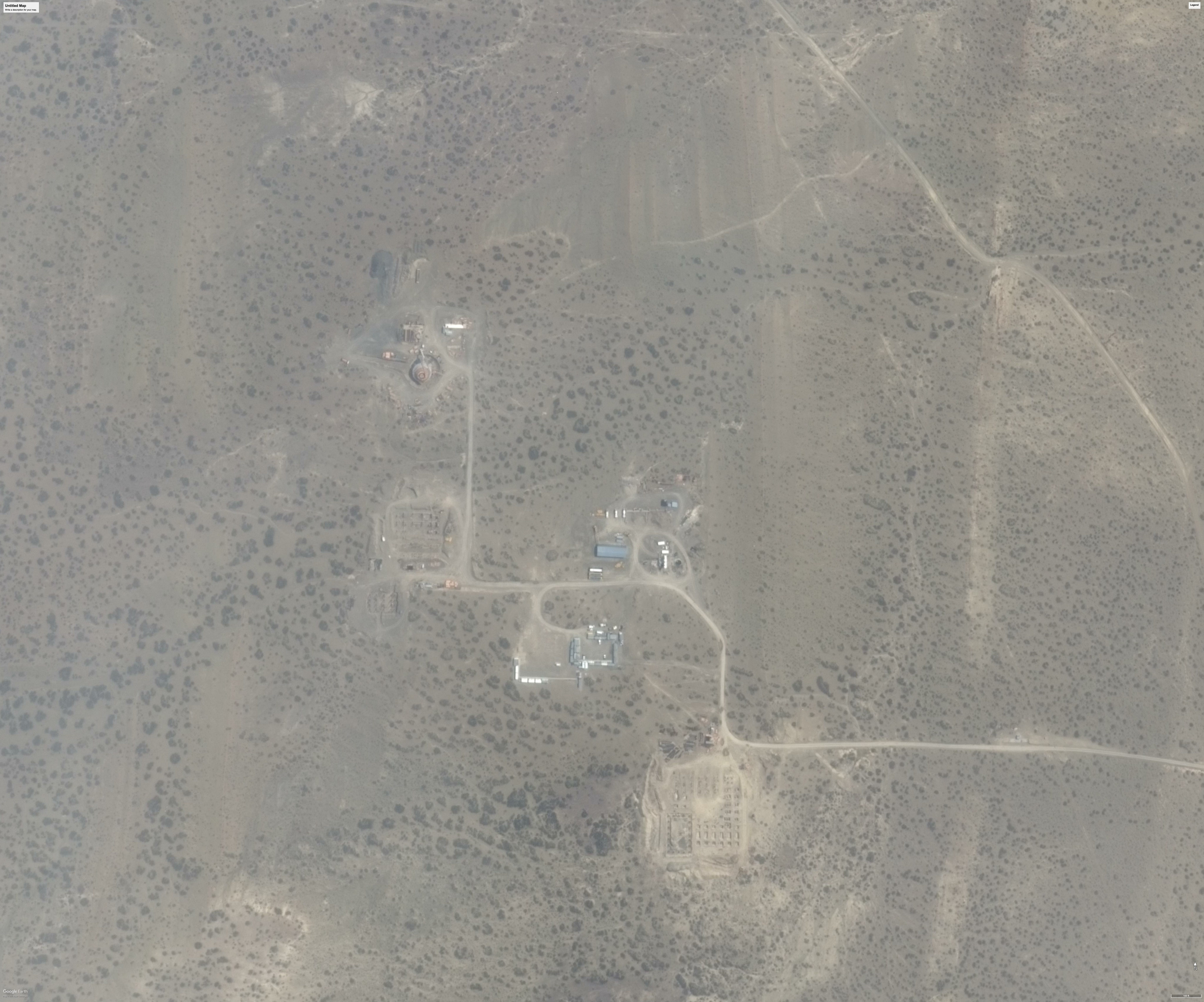
In 2014, satellite imagery shows the Neuquén site prior to becoming operational. The surrounding terrain appears largely undeveloped, with no large parabolic antenna visible and no completed compound or permanent support buildings in place. At this stage, the site is consistent with early groundwork rather than an active space facility.
By 2023, satellite imagery shows a fully developed facility. A large fixed parabolic antenna is clearly visible, along with multiple permanent support buildings clustered around the dish. The site now has a formalized internal road network and a clearly defined compound footprint, indicating a transition from early site preparation to sustained, operational use.
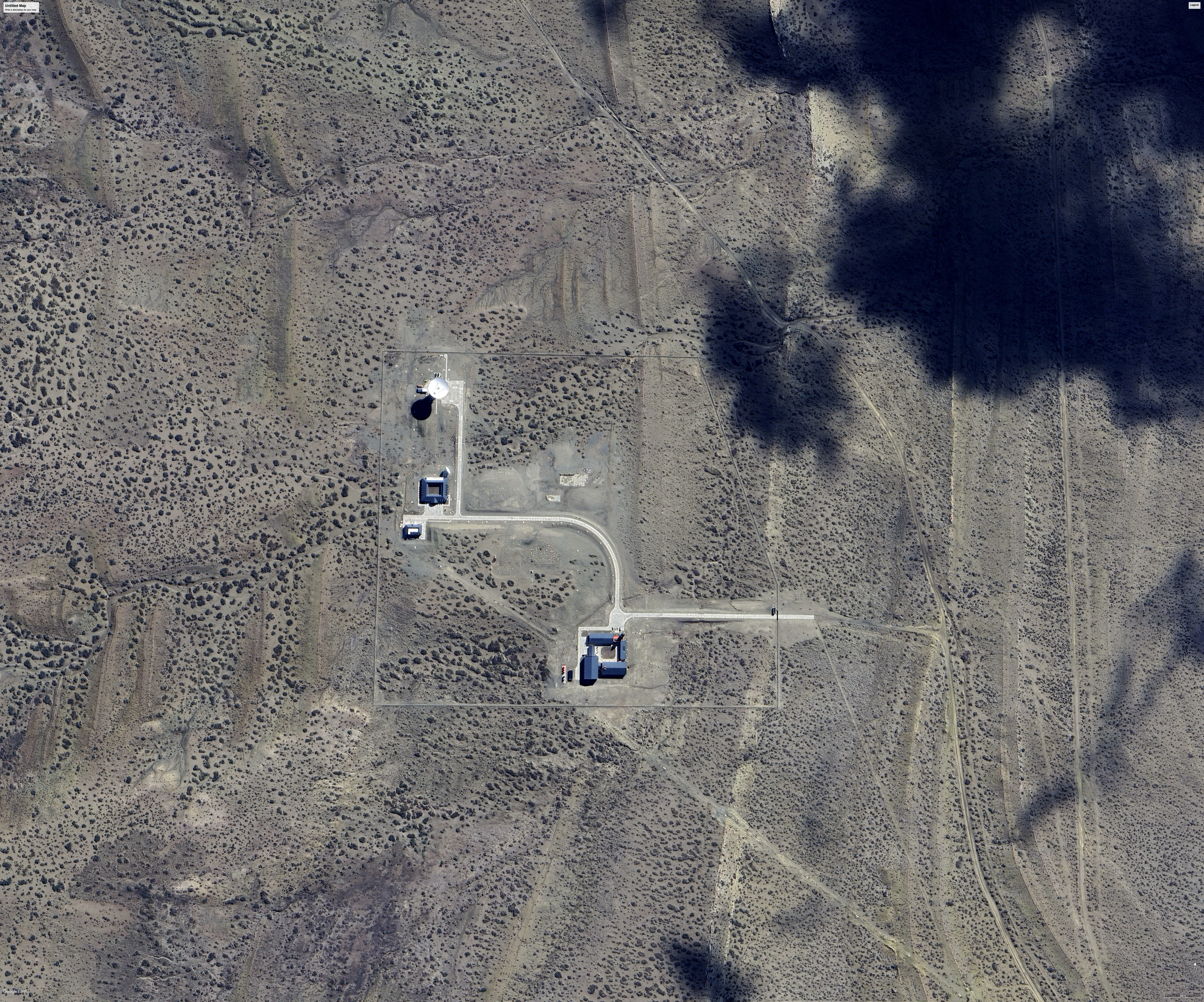
Comparing imagery from 2014 and 2023 shows a clear transformation. What begins as undeveloped terrain evolves into a permanent, purpose-built installation featuring a large antenna, dedicated support buildings, and a defined compound. The sequence site preparation, construction, and operational maturation is consistent with long-term infrastructure development rather than short-term or ad hoc use.
The satellite imagery establishes a clear baseline. The Neuquén site did not exist as an operational facility in 2014 and had become a fully built, permanent installation by 2023. This confirms that the physical footprint referenced in recent reporting is real, observable, and the result of deliberate long-term construction. The imagery alone cannot determine how the facility is tasked but it does establish the kind of infrastructure that would matter in a strategic context. That question requires looking beyond a single site.
This is the first in a series examining China’s physical infrastructure in Latin America through open-source imagery and data, focusing next on whether similar patterns appear across multiple facilities and jurisdictions.